
Application of the hydrologic model AÇUMOD based on GIS for water resources management of Pirapama River, Pernambuco, Brazil
Abstract
This study presents the application of the distributed hydrological model based on GIS – AÇUMOD to estimate the water discharges and potentialities of Pirapama river sub-basins, to be used by the Pirapama River Basin Committee (COBH-Pirapama). The model application included several steps, such as: precipitation data selection, basin discretization into cells, and model parameter calibration using try-and-error technique. The model was calibrated and validated with monthly precipitation data for the period 1987–2001. It was noted that the following parameters were the most important ones during the calibration process: infiltration function, soil minimum water capacity to generate runoff, and soil mean water storage capacity, which directly affect the computed runoff volume. The difference between observed and computed runoff during the calibration and validation processes were respectively -12.65% and 18.87%. The results of the simulated discharges by AÇUMOD, compared to observed ones, showed that the model satisfactorily represents the water basin behavior and, therefore, it can be considered a promising tool for rain-runoff simulation, permanence curve estimation, and discharge regionalization or prediction for Pirapama river basin as well as to other basins in the northeastern Brazil costal area.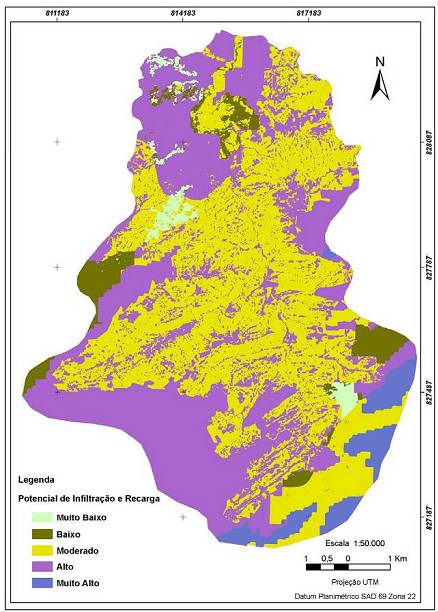
Published
31/08/2007
Issue
Section
Papers
Authors maintain the copyrights for their work. However, they grant rights of first publication to Ambiente e Agua - An Interdisciplinary Journal of Applied Science. In compensation, the journal can transfer the copyrights, allowing non-commercial use of the article including the right of sending the article to other data bases or publication media. The journal uses the CC BY 4.0 license"
